Beveridge North East.
Melbourne's next great northern community.
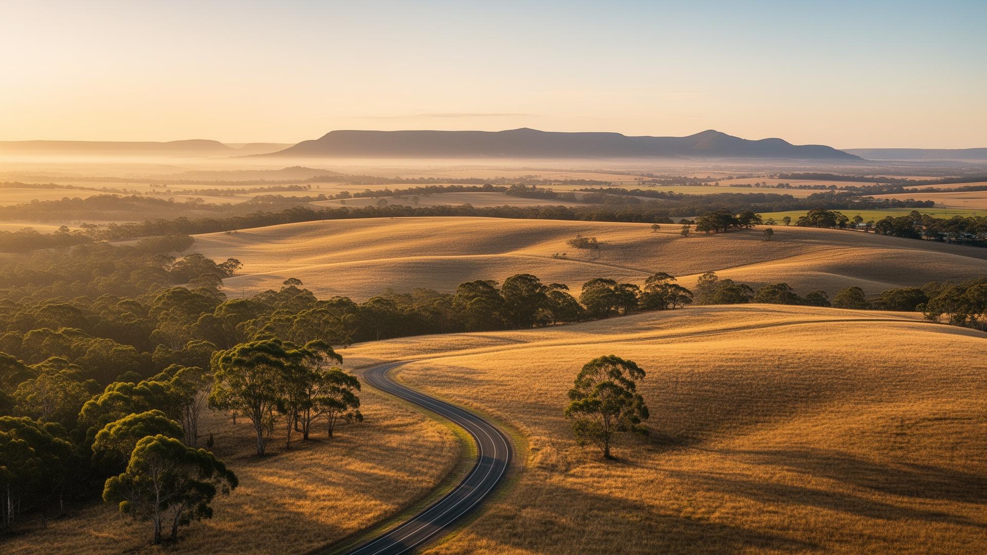
A future Horizon 3 master-planned community on the eastern foothills of Mt Fraser — part of Melbourne's defining northern growth corridor.
A precinct planned a generation ahead.
Beveridge North East sits inside one of Australia's most actively planned growth clusters. While Mandalay and Beveridge Central deliver today, and Beveridge North West breaks ground, BNE is positioned for the next horizon — pre-PSP, pre-rezoning, pre-release.
This site exists for the landholders, investors, builders and future residents who want to understand the precinct before the first stage opens. We publish the cluster timeline, the planned infrastructure, the schools coming online, and the honest gaps.
Five precincts. One growth corridor.
BNE doesn't exist in isolation. It's the eastern edge of a planned cluster that already includes three active selling estates and two future PSPs — collectively shaping a new town the size of Ballarat.
See active estates- Featured — Beveridge North East. The subject precinct of this site (orange dotted fill, heavier outline).
- Completed PSP (green). VPA precinct plan gazetted — typically selling, civils underway or delivering.
- Unprogrammed / Horizon (sand). Identified by the VPA but not yet in active planning.
Source: Victorian Planning Authority — VPA Precinct Boundaries dataset. Tile sizes proportional to official hectares; positions are schematic.
The build-out timeline.
Mandalay & Beveridge Central activated
First volume builder estates open. Wallara Waters and Mandalay establish the precinct's residential base.
Beveridge North West civils
Camerons Lane interchange business case strengthens. RMIT confirms forward education footprint.
Beveridge town centre
Indicative delivery window for the first sub-regional retail and community hub.
BNE enters consultation
Horizon 3 PSP process expected to begin. Landholder negotiations open.
First BNE land releases
Indicative civils and first stage delivery, subject to infrastructure sequencing.
Build-out complete
Full precinct delivered with town centre, schools, parks and employment.

A community designed around the way families actually live.
Parks within walking distance. Schools within the precinct. A town centre that does more than retail. BNE inherits the lessons of two decades of corridor delivery.
Explore lifestyleAn indicative vision for what the precinct could become.
The illustration shows the design pattern emerging across the cluster — generous open space, a defined town centre, schools embedded in walkable catchments, and a landscape that respects the Mt Fraser foothills.
See full masterplan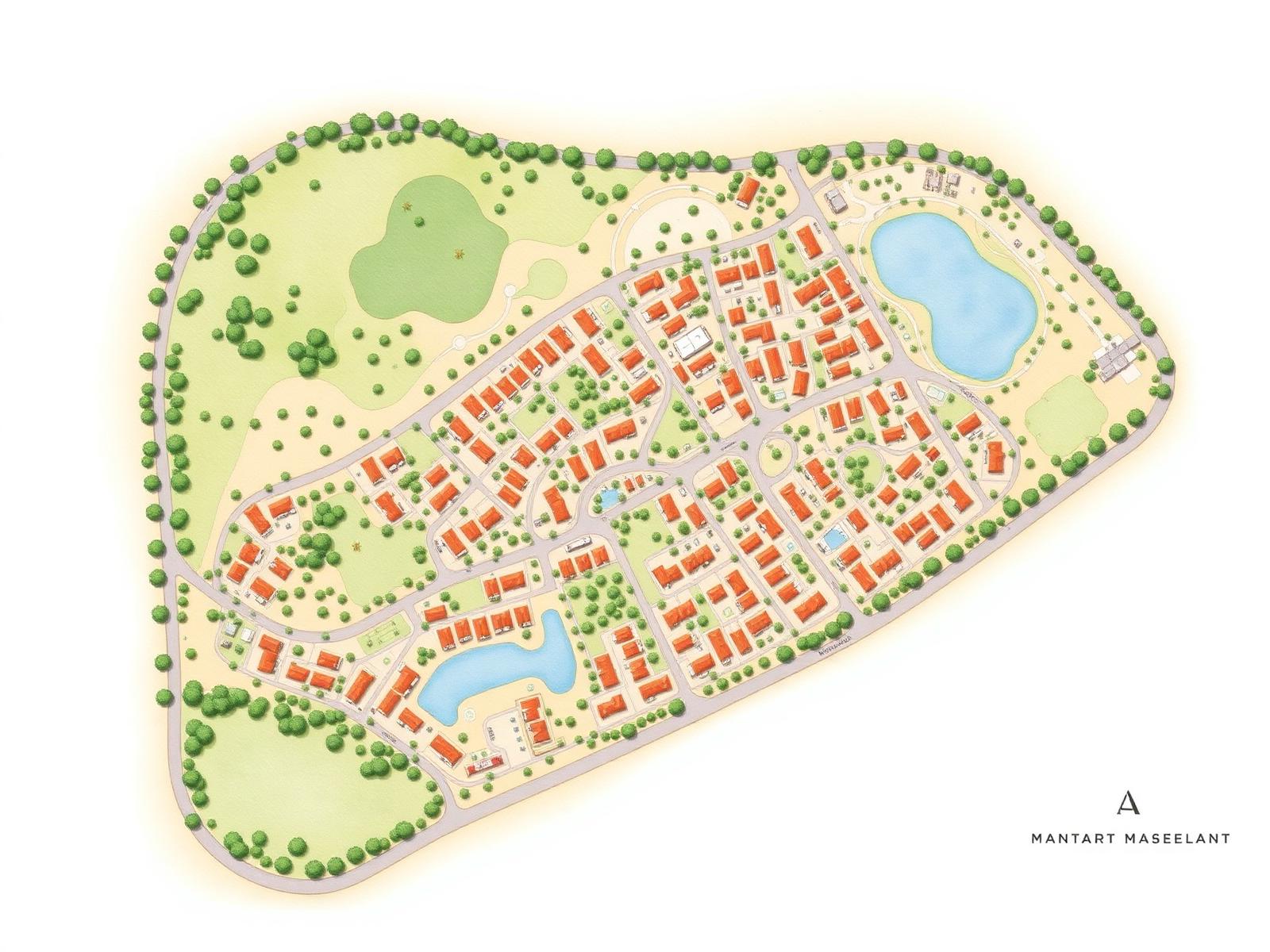
Be notified when BNE enters consultation.
Join the watchlist to receive updates the moment the precinct moves into the formal planning process — typically a 6-to-18 month window before first releases.
No spam. Unsubscribe anytime.